The end of the world by motorcycle on the Carretera Austral

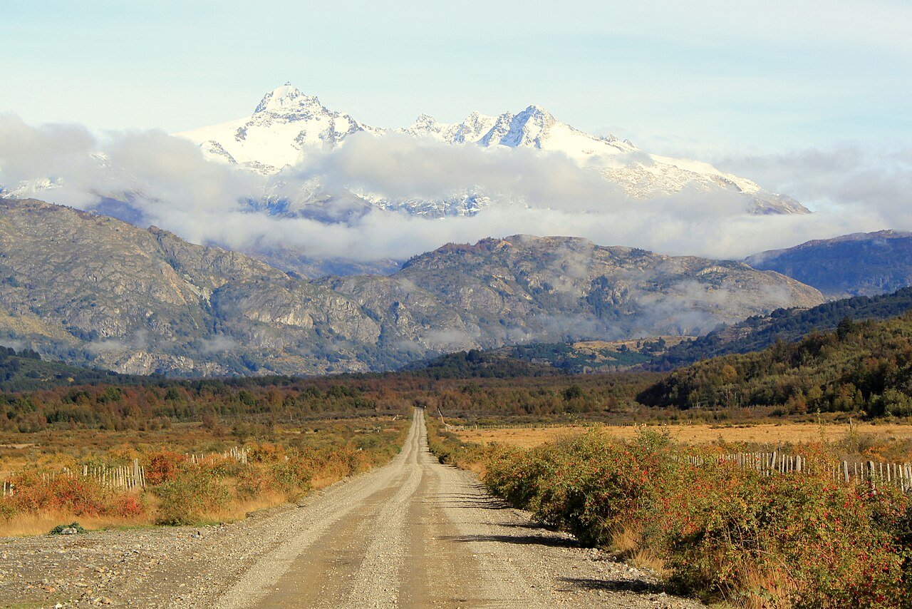
- Chile’s Route 7, from Puerto Montt to Villa O’Higgins, in Patagonia.
- About 58% paved, the rest gravel (ripio). Three ferries along the way.
- Best season: December to March. Plan 10 days to 2 weeks.
When Quebec freezes, it’s summer in Patagonia. And if there’s one road adventure riders dream about down there, it’s the Carretera Austral, Chile’s Route 7. It starts in Puerto Montt and runs south to Villa O’Higgins, a small village at the foot of the Patagonian ice field. That’s where the road ends. There’s nothing after it.
Its length depends on who’s measuring: about 1,058 km according to Chile’s Ministry of Public Works, over 1,200 km according to other sources.
A young road
Construction started in 1976 to connect the isolated villages of the Aysén region to the rest of the country. The road opened in 1988 and reached Villa O’Higgins in 2000. Before that, crossing southern Chile by land often meant going through Argentina.
As of April 2026, 614 of 1,058 km were paved (58%). The rest is gravel, the famous ripio. The north is almost all paved, but south of Cerro Castillo, gravel takes over. Count on 100 to 200 km a day on those stretches.
Three ferries
- Caleta La Arena–Caleta Puelche: about 40 minutes.
- Hornopirén–Caleta Gonzalo: about 5 hours. You have to buy your ticket before boarding, so book ahead.
- Puerto Yungay–Río Bravo: about 50 minutes, way down south.
Where to stop
In the north: fjords, rainforest, Pumalín Park and the hanging glacier of Queulat National Park. Then Coyhaique, the biggest town on the road (nearly 58,000 people): the place to fill up, do laundry and rest. Further south, Cerro Castillo, a 2,675 m peak of black rock. Then General Carrera Lake, Chile’s largest, with its turquoise water and the Marble Caves at Puerto Río Tranquilo. Next, the Baker River, the most powerful in the country, Cochrane, then Caleta Tortel and its wooden boardwalks. And at the very end, Villa O’Higgins.
When and how to go
According to Chile’s tourism board, the best time is December to March. In winter, cold, wind and snow can close sections of the road. Plan 10 days to 2 weeks.
- Plan it like an expedition. In the south, fuel, food and lodging get scarce.
- Fill up whenever you see a station. The gaps between pumps are long.
- To ride just the southern half, the wildest part, you can fly into Balmaceda, about 55 km from Coyhaique, and rent a bike there.
What I love about this road is that it leads nowhere but to itself. No big city at the end, no border to cross. You don’t ride it to get somewhere, you ride it for the road. If Patagonia makes you dream, put it on your list!
Ride safe!
Photos
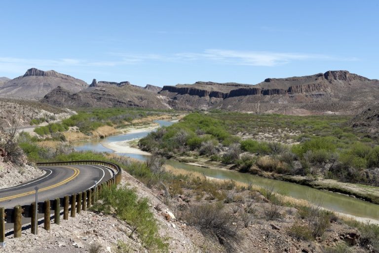
Main photo: The Carretera Austral (Route 7) near Leones, Chile. Carretera Austral near Leones: Rakela, 2013, CC BY-SA 3.0, via Wikimedia Commons.